|
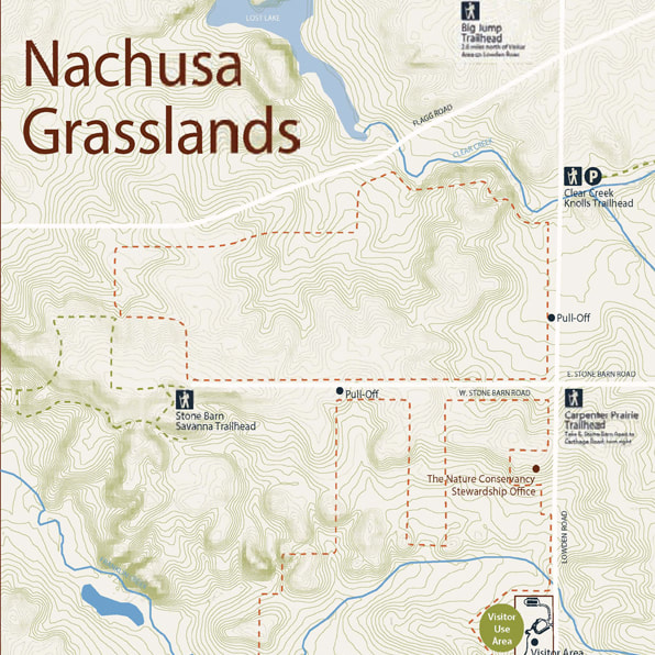
Big JumpView MAP
Trailhead: 2.6 miles north of the visitor center, on Lowden Road.
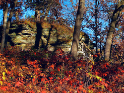
Parking: There is a small lot. Do not block any entrances or gates. Where to hike: Hike either on the mowed lanes or off–trail. There are 350 acres to explore. What can be seen along the hike? Remote hilly prairie, oak woodlands, a creek, cliffs, and crop fields. There is a creek crossing after the crop field and before the prairie hills. Remove your shoes and socks and enjoy the crossing! Please do not climb the rock faces or walk on any crops you see. |
Clear Creek KnollsView MAP
Trailhead: 1.4 miles north of the visitor center, on Lowden Road.
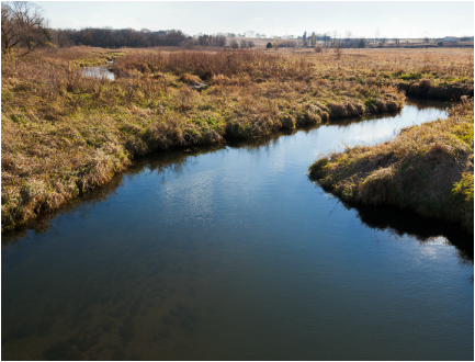
Parking: There is a small lot. Do not block any entrances or gates. Where to hike: Hike either on the mowed lanes or off–trail. There are 300 acres to explore. What can be seen along the hike? Beautifully restored prairie (former crop fields), and some remnant hill prairies. There is also a creek crossing, so remove your socks and shoes and enjoy the refreshing water. Wear a swimsuit, for the creek ford is fun to play in on a hot day. |
Stone Barn SavannaView MAP
Trailhead: At the dead–end of Stone Barn Road, 2 miles northwest of the visitor center.
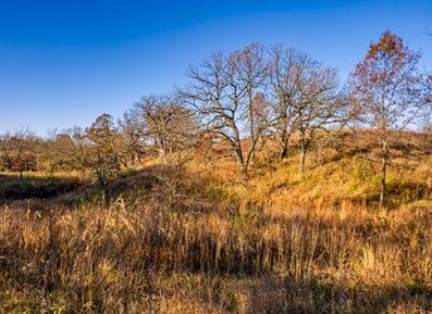
Parking: There is pull-off parking in the grass. Do not block any gates or roads. Where to hike: Walk through the opening near the fence and hike either on the mowed lanes or off–trail. There are 250 acres to explore. What can be seen along the hike? A lovely extensive oak savanna (under restoration), restored prairie openings, wetlands and sandstone cliffs (do not climb the rock as it will break off). Use a Smart Phone to access a guided hike along this trail. |
Meiners WetlandsView MAP
Trailhead: On Naylor Road, 2.4 miles southwest of the visitor center.
Parking: There is a parking lot. Where to hike: Hike off–trail, for there are no mowed lanes to follow. There are 60 acres to traverse. What can be seen along the hike? Remnant prairie, wetlands, a portion of Franklin Creek, and a pond with a bur oak hillside. Watch for birds, mink and muskrat along the creek. |
Thelma Carpenter PrairieView MAP
Trailhead: On Carthage Road, 2.4 miles northeast of the visitor center. This hike is best reached by taking Lowden Rd north, then Stone Barn Rd east and finally south on Carthage Road.
Parking: There is pull-off parking in the grass. Do not block any gates or roads. Where to hike: Hike off-trail up the hill of this remnant prairie or along the mowed lanes. There are 60 acres to explore. What can be seen along the hike? There are remnant prairies, prairie restorations, a fallow meadow, and an old farm pond. |
Leave only your footsteps and take only your photos and memories!
UPDATED 9/2020

