The above quote is from a short piece I wrote for Prairie Smoke, describing, somewhat humorously, the first year my wife and I acquired Photo Points (2008). It was a year of learning in so many ways. Photo Points assigns numbers to specific locations of Nachusa Grasslands, usually along property boundary lines. It's a way to monitor the prairie restoration process. The project began in 1999 with Bill Kleiman and Gerald McDermott, a volunteer.
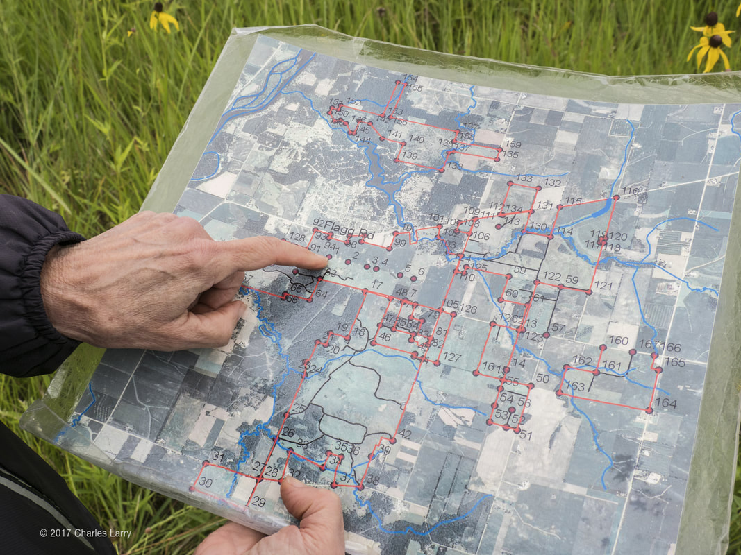
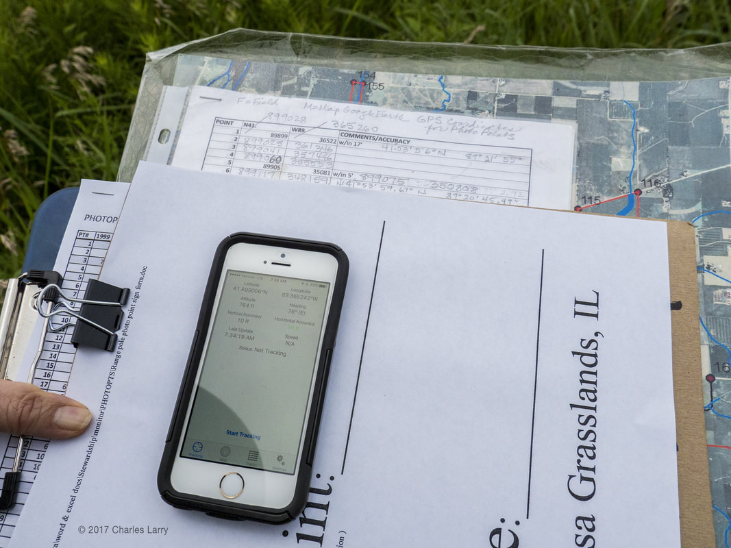
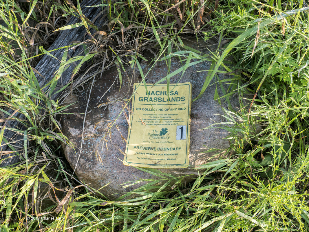
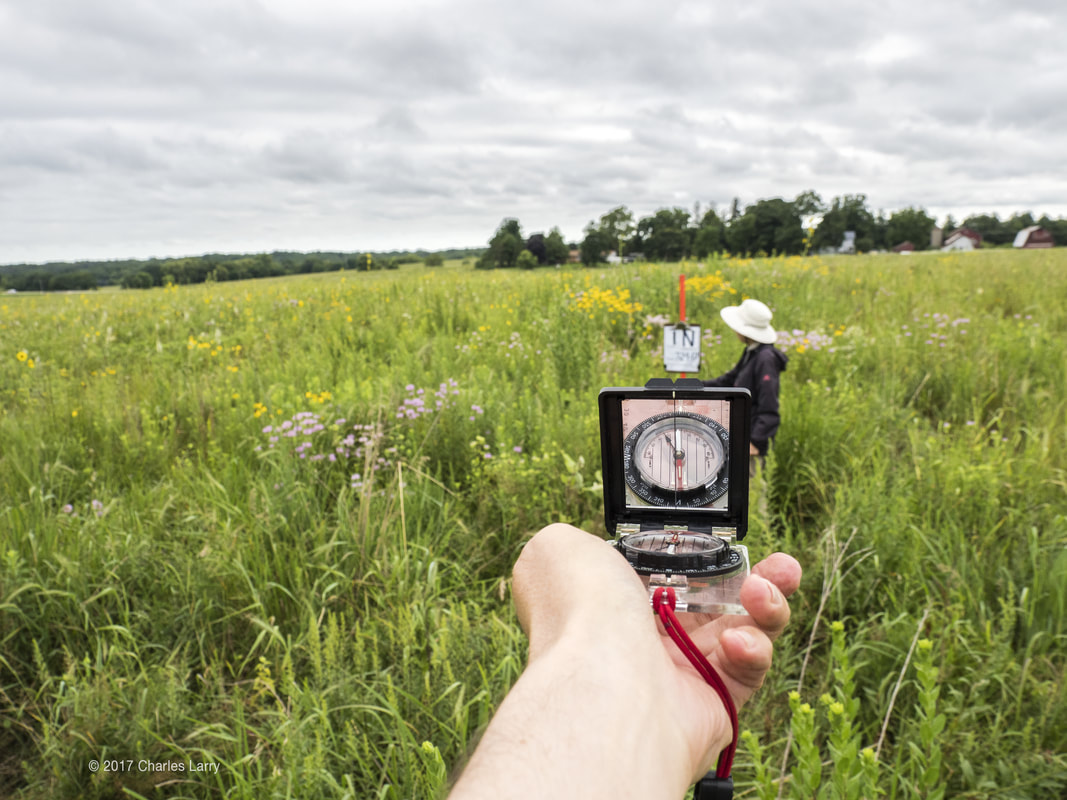
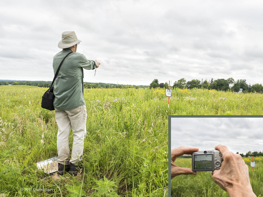
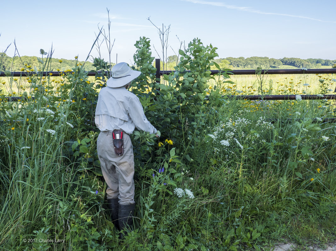
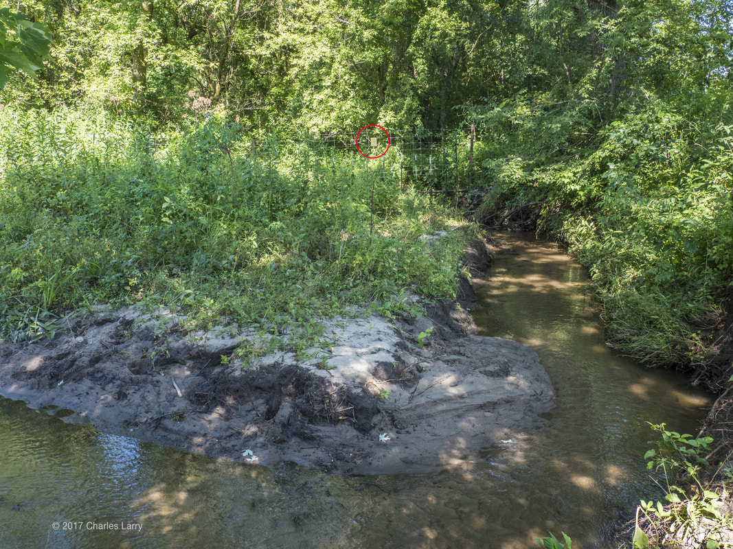
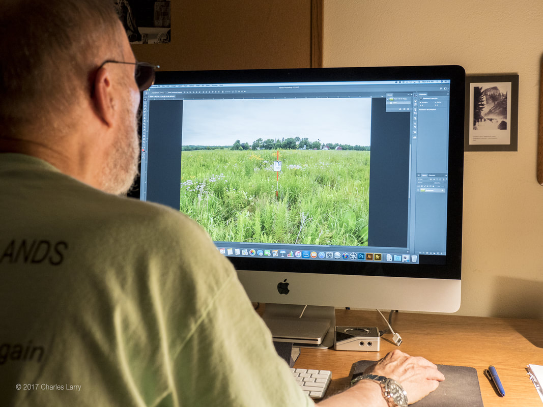
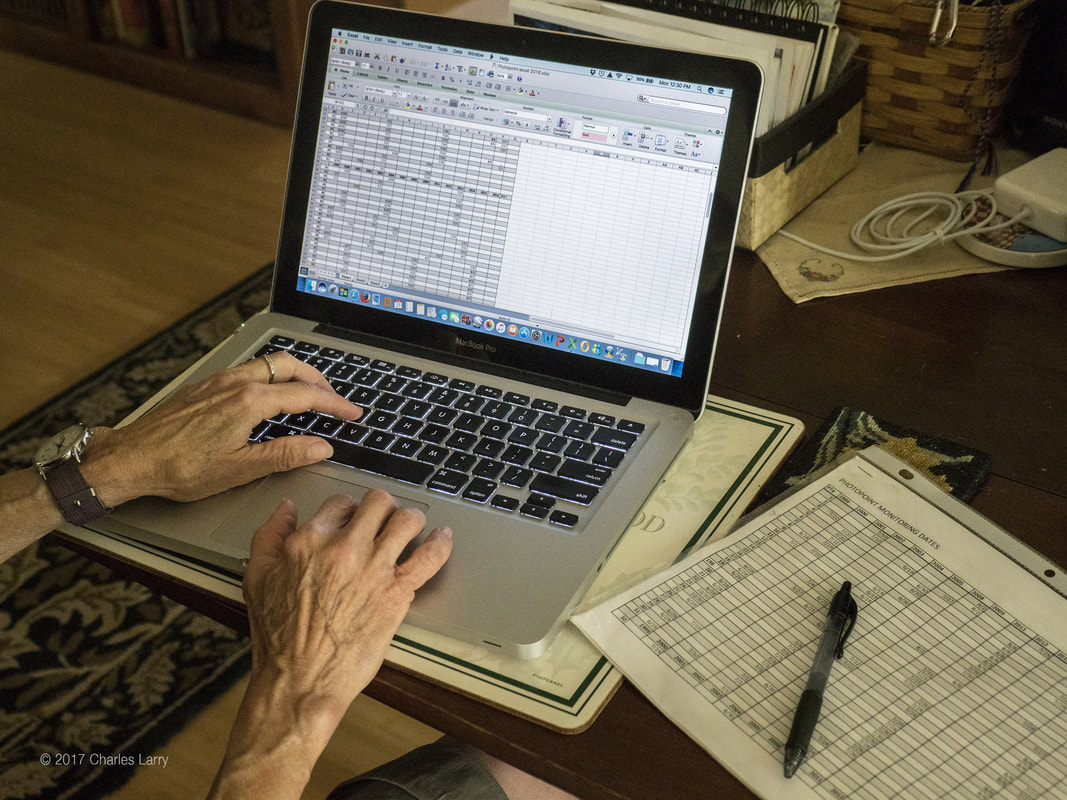
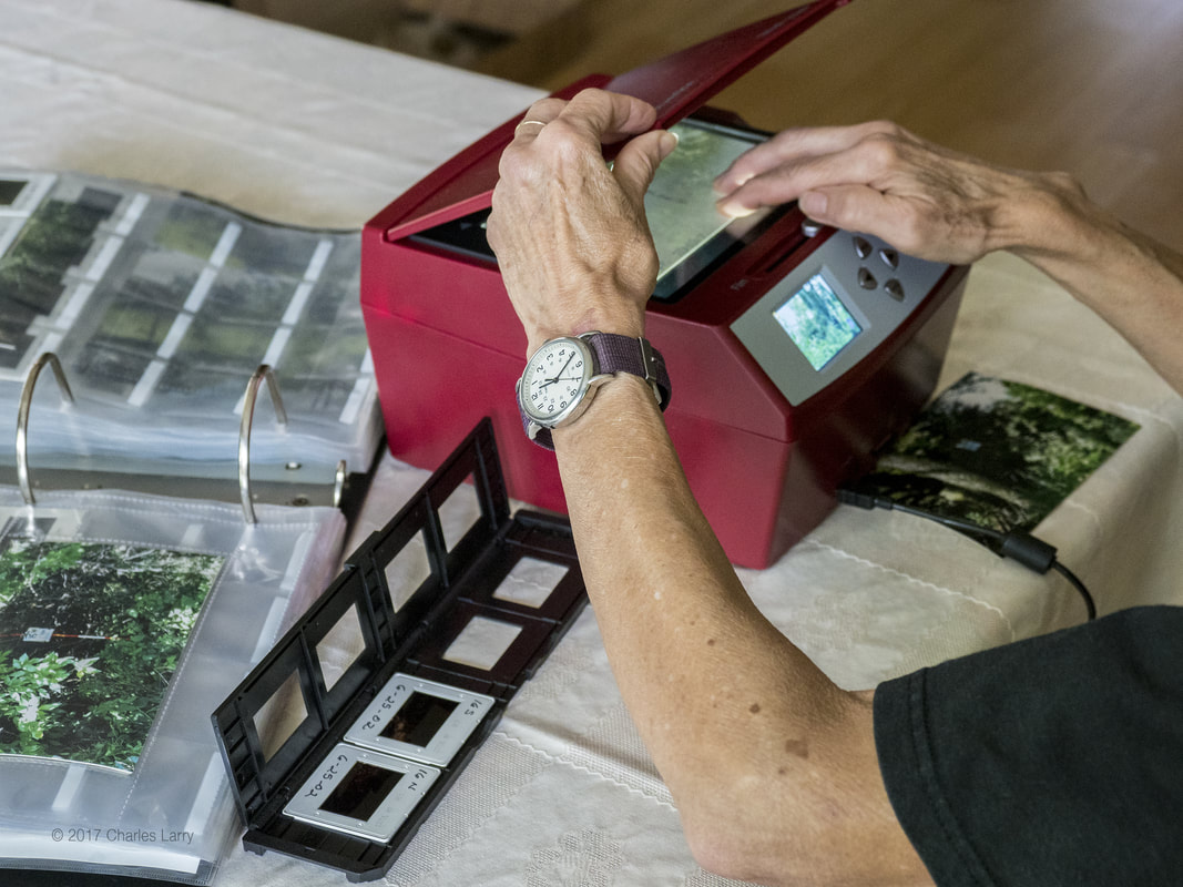
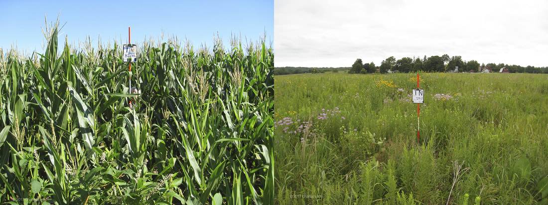
The photographer identifies points that he wants to photograph during a season, based on various factors: how long it's been since a point was last done, how much change has occurred in an area, or how an area is likely to change in the near future. Once points are selected, they can be found on a detailed map. Since boundary lines change, and/or fence lines disappear, we've been recording coordinates for each point, using the GPSTrack app in iPhone. The point marker signs are not always where you expect to find them. Sometimes they're not there at all. GPS readings will get you very close to the original point. One person takes a reading on a compass while the other person places a range pole with a marked sign at the exact compass direction. The sign contains the point number, the date and direction being shot. The sign pole is placed twenty feet away from the point. A photo is then taken, fully automatic, with the sign framed in the middle of the shot. This process is repeated for each of the cardinal directions. Sometimes there is too much growth to get a clear shot. Vegetation has to be cut down or thinned. If there's too much heavy vegetation, a thick briar patch for example, or the encumbrance is on a neighbor's property, the photographer has to step out away from the point, noting how far and in what direction, and take the photo. And then there are the challenges. Teams sometimes have to wade a creek or walk through a wetland to find a point. Many points are deep in wilder areas where vehicle passage isn't possible, in which case the team has to walk cross country through thick and uneven terrain. After the two week period and the team has taken all the photos for that year, the images must be processed. This sometimes means slight adjustments, such as making the photo lighter or darker. Usually it just means changing the file name from the number assigned by the camera to the point number, direction shot and date. These are saved onto a flash drive and given to Bill Kleiman, who copies them into a folder onto his computer. The data is also carefully recorded on a spread sheet, point numbers and date shot. This Excel file is included on the flash drive with the Photo Points. The Photo Points project began before digital photography was very prevalent, so there is a backlog of Photo Point photos in slide or print format. These are in the process of being converted to digital format. The following image shows in a dramatic way how valuable the Photo Point project is. The photo on the left is point #1 taken in 2008, during our first year with the project. The photo on the right is point #1 today. Photo Points is a sometimes challenging, sometimes frustrating endeavor but always interesting and rewarding. My initial quote made the project sound adventurous. After almost ten years of doing it I still find it so.
1 Comment
11/2/2017 12:52:24 pm
We will use the points and our gps in relocating plants for our
Reply
Your comment will be posted after it is approved.
Leave a Reply. |
Blog CoordinatorDee Hudson
I am a nature photographer, a freelance graphic designer, and steward at Nachusa's Thelma Carpenter Prairie. I have taken photos for Nachusa since 2012. EditorJames Higby
I have been a high school French teacher, registered piano technician, and librarian. In retirement I am a volunteer historian at Lee County Historical and Genealogical Society. Categories
All
Archives
January 2024
|
CONNECT WITH US |
|

 RSS Feed